Earth Sciences and geochemistry provide powerful tools to explore the processes that shape our planet. At Kiro Lab, we focus on studying the chemistry of the ocean and past environments to understand fundamental Earth system processes, such as the carbon cycle and climate dynamics. This understanding helps us to better interpret the natural variability of the Earth system and provides valuable insights into how we might respond to future climate change.
In our group, we explore the interplay between coastal and submarine environments, exploring their dynamics across diverse spatial and temporal scales. Our research aims to unravel the fundamental processes governing these environments, providing critical insights into their role in shaping our planet's past, present, and future.
Vainer S., Brittingham A., Karampaglidis T., Gasparyan B., Petrosyan A., Haydosyan H., Arakelyan D., Kiro Y., Goldsmith Y. & Malinsky-Buller A.
(2025)
Quaternary Science Reviews.
369,
109596.
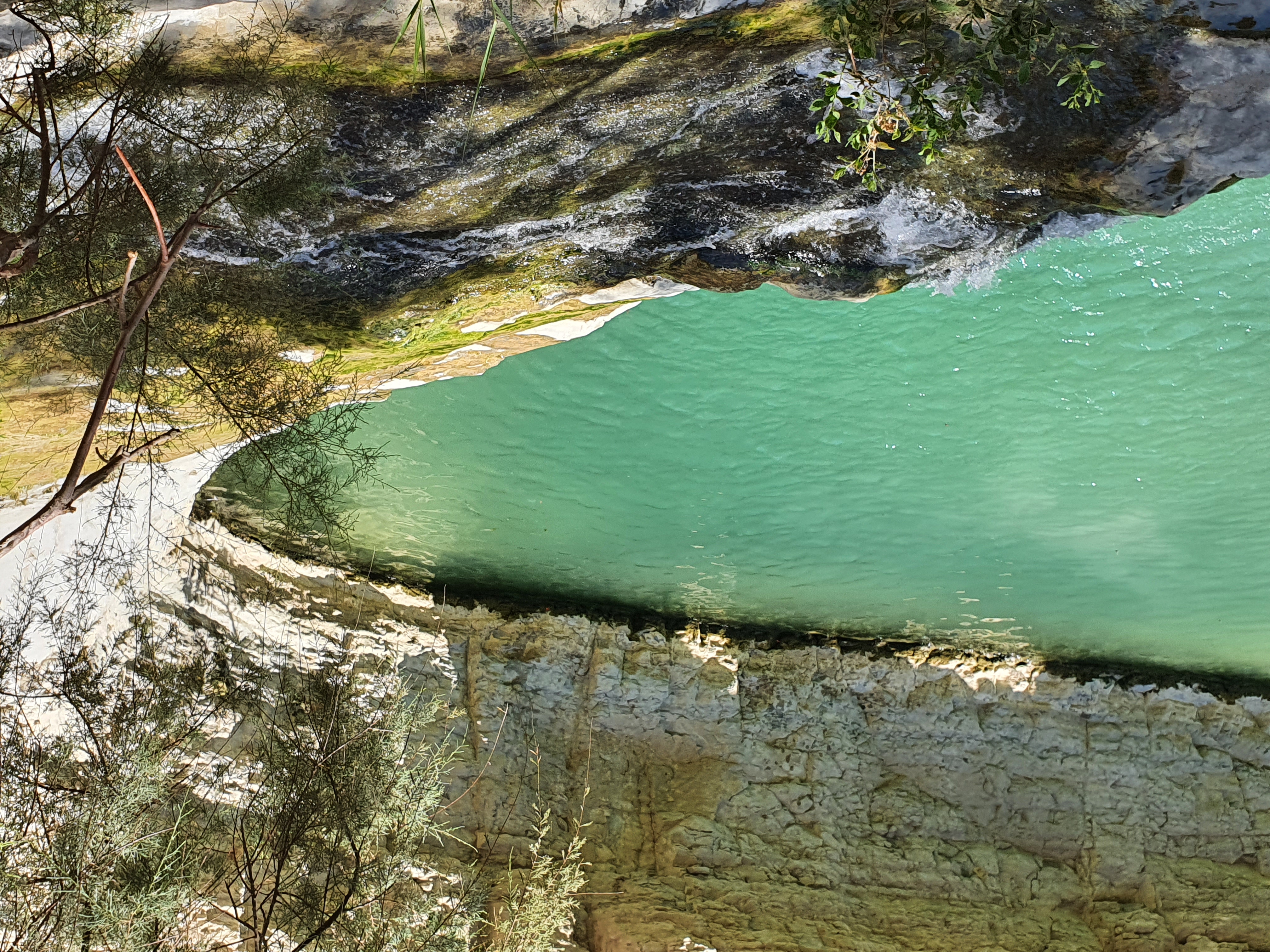
The Ararat Depression (Armenia), situated between the southern Caucasus and northern Mesopotamia, holds substantial archaeological Middle Paleolithic sites. However, as paleoclimate archives are scarce in the region, the climatic history is not well constrained. To reconstruct the local paleoclimatic conditions in the past, we studied a ∼30 m-thick sequence of carbonates deposited in the Vedi Valley, a tributary of the Ararat Valley. We applied field mapping, petrography, geochemistry, stable isotope analysis, and UTh dating to investigate the genesis and evolution of these carbonates. Two main facies are identified: (1) a micritic-peloidal microbial facies formed in low-energy palustrine settings, and (2) a sparitic calcite facies formed via CO2 degassing from deeply sourced hypogene fluids. δ13C and δ18O values, together with elemental proxies, indicate early closed-system degassing of hydrothermal solutions interacting with marine carbonates of the Yerakh Anticline, followed by increased meteoric influence and detrital input in the upper portion of the sequence. Three distinct detrital units coincide with heavier δ18O and lighter δ13C values and likely reflect wetter intervals during interglacial phases. Isochron UTh dating constrains deposition to occur between 319 ± 84 and 198 ± 14 ka, corresponding to Marine Isotope Stages (MIS) 97. The results indicate that the Vedi Valley carbonates constitute a Middle Pleistocene sequence formed under the combined influence of active tectonics, volcanism, and climatic shifts. As such, they provide a rare archive of landscape evolution in a region critical for understanding past environmental variability and human dispersal pathways.
Kiro Y.
(2025)
Nature Communications.
16,
1,
7082.
Understanding the oceans chemical composition is key to assessing the carbon cycle and its climate impact, especially through its control on calcium carbonate saturation and preservation. While rivers and hydrothermal systems are recognized contributors to ocean chemistry, the role of coastal aquifers has been underestimated. This study shows that long-term submarine groundwater discharge (SGD) is a major source of solute fluxes to the ocean, especially of calcium and alkalinity, while removing sodium and potassium. Through analysis of elemental and isotopic ocean budgets, we find that fluxes from long-term SGD rival those from rivers in magnitude. These fluxes influence the residence times of major elements and significantly affect the global carbon budget. Moreover, they are dynamically linked to sea-level changes: falling sea levels enhance SGD-driven solute inputs, whereas rising sea levels suppress them. These patterns suggest that SGD fluxes may regulate long-term climate trends, including rates of global cooling or warming.
Kushnir Y., Stein M., Biasutti M., Kiro Y., Goldsmith Y. & Goldstein S. L.
(2024)
Proceedings of the National Academy of Sciences - PNAS.
121,
47,
e240716612.
The mechanisms underlying the current greenhouse gas (GHG) forced decline in Mediterranean rainfall remain a matter of debate. To inform our understanding of the current and projected drying, we examined extended arid intervals in the late Quaternary, Eastern Mediterranean (EM) Levant indicated by substantial salt deposits in a Dead Sea sediment core covering the past 220 kyr. These arid events occurred during interglacials, when the Earth was at perihelion to the sun in boreal fall and during glacialinterglacial transitions, associated with icesheet melting. Climate models forced with realistic late Quaternary insolation variations show that when the Earth is closest to the Sun in boreal fall, the North Atlantic latitudinal surface temperature gradient in the winter intensifies. In response, the overlying midlatitude North Atlantic jet stream and the extratropical storm track move poleward while sea-level pressure rises in the subtropics. These changes bring about a weakening of the Mediterranean storm track and a decline in rainfall over the entire basin. During glacialinterglacial transitions, meltwater from continental icesheets forced abrupt subpolar North Atlantic cooling. This also strengthened the latitudinal surface temperature gradient, likely causing similar atmospheric response and aridity in the Mediterranean. There is a strong resemblance between this paleo-climate scenario and the climatic changes corresponding to the present and projected GHG drying of the EM. Hence, the late Quaternary palaeohydrology of the Dead Sea indicates an important North Atlantic centered response to external forcing, which leads to Mediterranean drying and is relevant in the present.